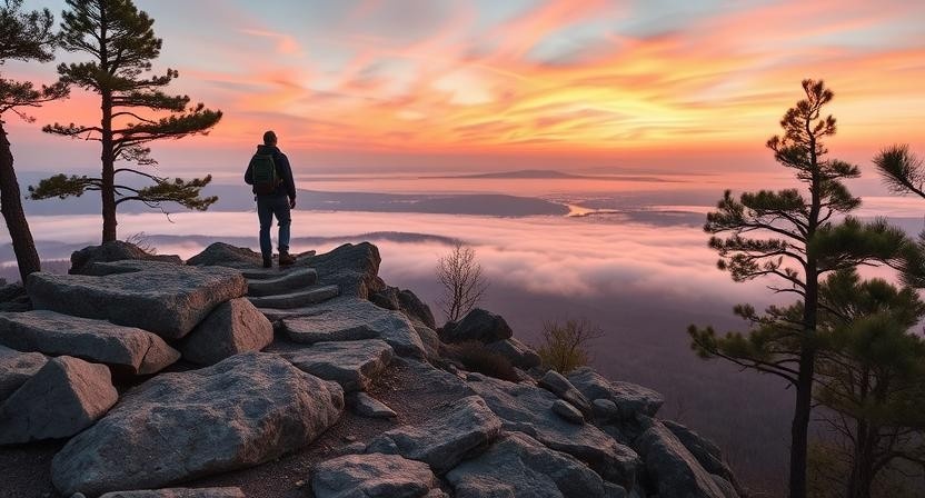
Arkansas, often called The Natural State, is hands-down one of the most underrated hiking destinations in the United States. While many adventurers chase trails in Colorado or the Pacific Northwest, those in the know are quietly enjoying some of the best hiking in Arkansas — where forested mountains, flowing rivers, and remote wilderness areas offer unforgettable treks without the crowds.
Whether you’re planning a weekend escape in the Arkansas Ozarks, exploring rugged paths along the Buffalo National River, or just looking for family-friendly hikes in Arkansas near Little Rock or Bentonville, this state delivers in ways that surprise even seasoned hikers. Think less commercialization, more solitude. Fewer tourist traps, more raw beauty. And with trails ranging from easy hikes in Arkansas to intense overnight backpacking routes, there’s something for everyone — from total beginners to experienced thru-hikers.
What makes hiking in Arkansas stand out is the variety packed into such a compact region. Within just a couple of hours’ drive, you can go from climbing exposed bluff trails in the Ozarks to wandering lush waterfall paths near Hot Springs National Park. Towns like Eureka Springs, Mountain Home, and Fayetteville are not only beautiful but also serve as perfect basecamps for exploring hiking trails in northwest Arkansas and beyond.
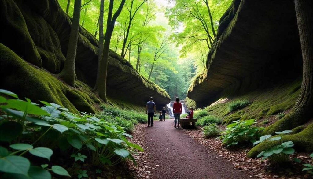
For outdoor lovers who also enjoy creature comforts, Arkansas delivers that sweet spot between wild and welcoming. You’ll find dog-friendly hiking trails, nearby campgrounds, quaint mountain cabins, and even luxury lodges that are among the best places to stay in Arkansas for hiking trips. This mix of accessibility and adventure makes it perfect for solo hikers, couples, families, or even those bringing along their pups.
As someone who’s spent years exploring the trails across the U.S., I’ve learned that hiking isn’t just about checking off another trail — it’s about feeling grounded, alive, and connected to nature. That’s exactly what Arkansas hiking offers. This guide isn’t just a list of places — it’s a deeply researched, experience-backed resource built to help you actually plan your hikes: from where to go, what to bring, how to prepare, and which Arkansas state parks or hidden gems are worth your time.
And if you’re unsure where to begin, don’t worry. Whether you’re searching for easy trails with waterfalls, best fall hikes in Arkansas, or off-grid backpacking in the Ozarks, this guide will walk you through every step.
Fun Tip: Fall is hands down one of the best times to hit the trails here — the colors in Northern Arkansas are absolutely stunning and rival some of the more famous leaf-peeping spots in New England.
Oh, and if you’re the type who likes to plan around camping and hiking in Arkansas, stay tuned — we’ll even cover the best places to hike and camp in Arkansas, complete with expert tips, hidden stops, and safety must-knows.
Why Hiking in Arkansas Belongs on Your Bucket List
Diverse Landscapes: Ozarks, Ouachita & Delta
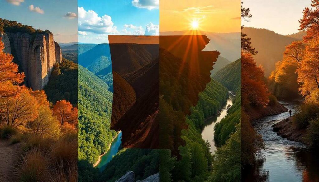
Arkansas hiking is defined by its dramatic regional shifts—towering limestone bluffs in the Arkansas Ozarks, dense pine ridges of the Ouachita Mountains, and the gentle river valleys of the Mississippi Delta. In the Ozarks, you’ll scramble over ancient sandstone ledges at Whitaker Point and dip into fern‑shaded gorges at Sylamore Creek. Head south to the Ouachitas, where the rugged Ouachita Trail winds through endless stands of shortleaf pine and glacial‑carved valleys. Then, in the Delta, easy boardwalk paths meander through cypress swamps and migratory bird habitats, offering a peaceful counterpoint to the high‑country climbs.
Geologically speaking, these regions span over 500 million years of Earth’s history. The Ozarks preserve Cambrian‑era sedimentary layers, while the Ouachitas reveal deep Precambrian roots. Even if you’re new to hiking in Arkansas Ozarks, understanding this backdrop enriches every step—you’re literally walking through time.
Practical Tip: Pack sturdy trail shoes with good grip for Ozark bluffs, and bring insect repellent for Delta boardwalks, where mosquitoes thrive in summer.
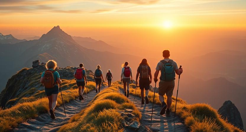
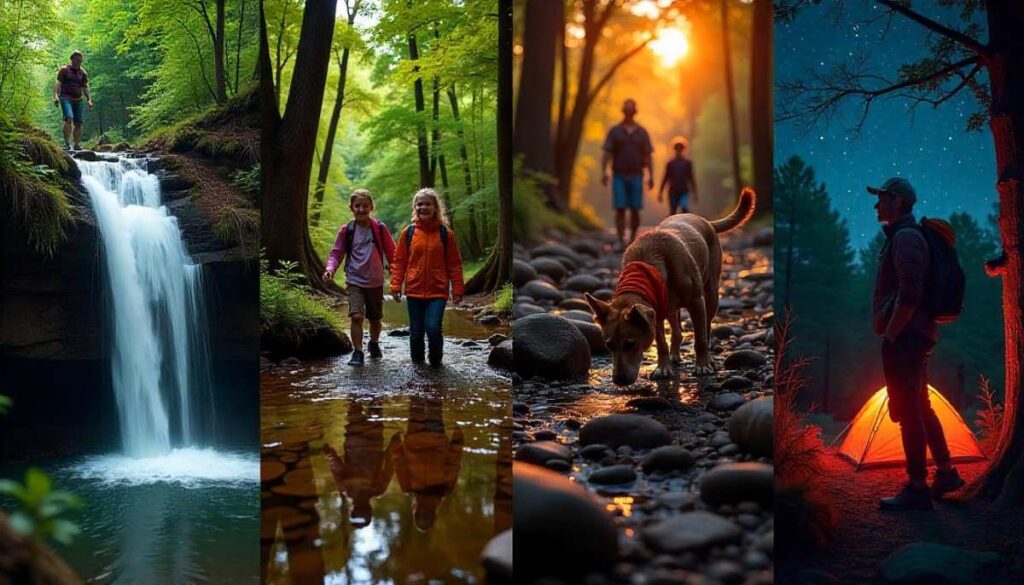
Year‑Round Adventure: Seasonal Highlights of Hiking in Arkansas
One of the biggest draws of hiking in Arkansas is that you can find remarkable trails any time of year.
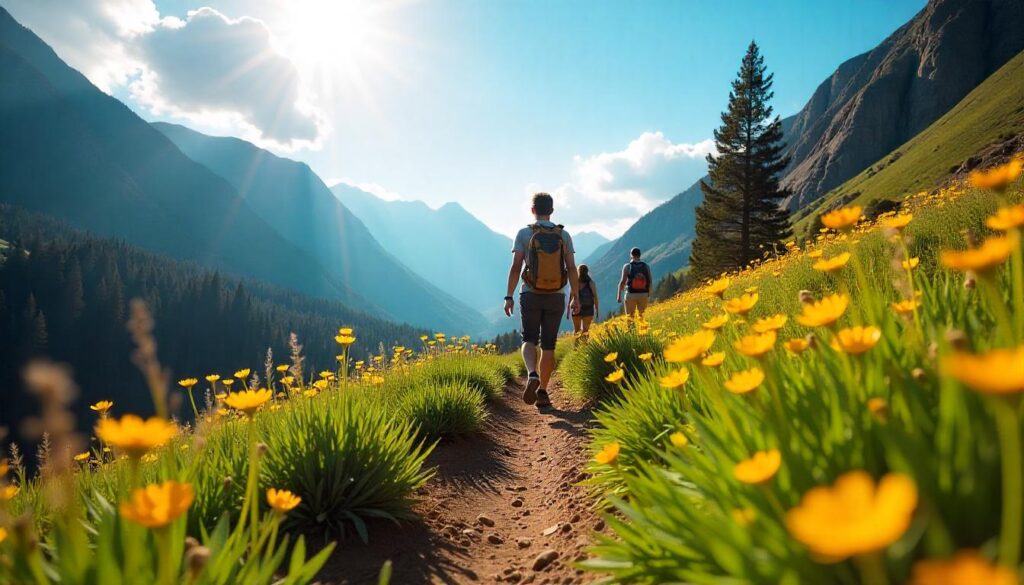
- Spring: Wildflower blooms light up trails like Lost Valley Trail Arkansas, where redbuds and trilliums line the path. Peak bloom typically arrives in April, and wet soils make creek crossings an adventure.
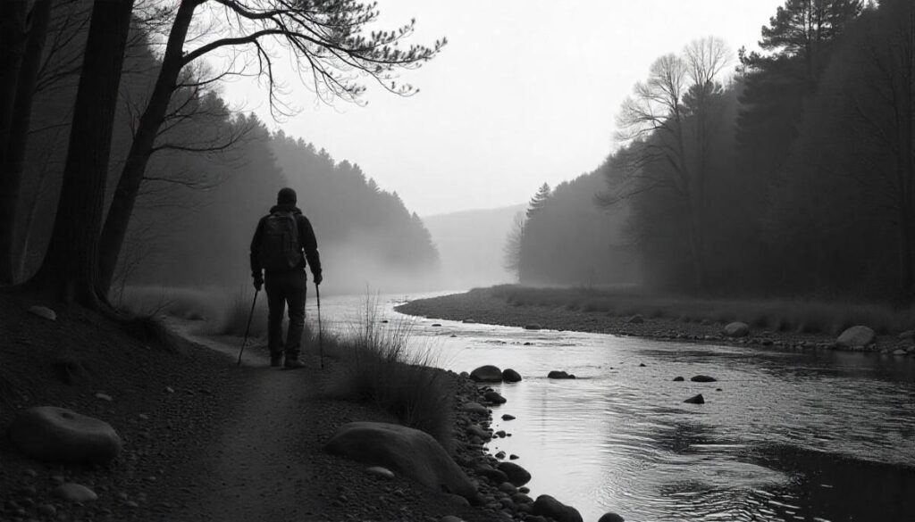
- Summer: Cool off on Buffalo River Arkansas hiking routes, wading through shallow pools and swimming beneath hidden waterfalls. Early mornings are best—temperatures can exceed 90°F by midday. For practical and detailed tips on summer hiking you should click here.
- Fall: This state boasts some of the best fall hikes in Arkansas, especially around Ponca and Mount Magazine Signal Hill. Fiery reds and golds transform the hillsides, rivaling New England’s peak foliage .
- Winter: While many skip the trails in colder months, Hot Springs Mountain Trail offers mild winter weather. After a light frost, ancient pines and granite outcrops sparkle in the low sun. For detailed layering advice, see our Cold‑Weather Hiking Guide.
Expert Insight: According to the Arkansas Department of Parks, Heritage & Tourism, annual rainfall patterns keep spring and fall trail conditions optimal, whereas summer brings both heat and high creek flows for waterfall hikes.
Planning Your Arkansas Hiking Trip
Permits, Park Fees & Regulations
Planning ahead for your Arkansas hiking trip starts with understanding local trail regulations. Fortunately, most day hikes—like those at Devil’s Den State Park or Petit Jean State Park—do not require permits. These parks typically charge a small day-use fee (usually between $5–$10 per vehicle), helping maintain trail systems and amenities. Backpacking trails such as the Eagle Rock Loop or Butterfield Hiking Trail, however, may require you to register at trailheads, especially if you’re camping overnight.
While state and national forests are more flexible, some areas within Wilderness Zones like the Upper Buffalo Wilderness may enforce Leave No Trace policies strictly. It’s also important to check for seasonal fire bans or trail closures, which are regularly updated on the Arkansas State Parks website.
Hiker Insight: Rangers recommend checking the weather and water levels ahead of any trip, particularly in spring when creeks flood fast and can make certain routes impassable. Also, dogs are welcome on most trails but must be leashed at all times.
Best Places to Stay in Arkansas for Hiking
Choosing the best places to stay in Arkansas for hiking depends on which region you’re exploring—but the state offers plenty of hiker-friendly lodging that combines comfort with easy trail access.
If you’re hiking in the Arkansas Ozarks, towns like Jasper, Ponca, and Eureka Springs offer charming lodges, rustic cabins, and trailhead-proximate motels. For instance, staying in Ponca puts you just minutes from the iconic Whitaker Point (Hawksbill Crag) and Lost Valley Trail, two of the best scenic hikes in the state.
In the Ouachita Mountains, Hot Springs is a popular hub for outdoor lovers. Here you’ll find everything from budget inns to historic hotels with spa access—perfect after a long trek along the Sunset Trail or Hot Springs Mountain Trail.
Down south near the Delta, base yourself in Little Rock for city comforts with quick access to Pinnacle Mountain State Park. You can also consider campsites if you’re into full immersion—many Arkansas state parks offer well-maintained camping options with restrooms and access to water.
Packing Essentials & Safety Tips
Packing smart can make or break your hike—especially in Arkansas, where weather can shift quickly and terrain varies widely. Layering is essential. Start with moisture-wicking base layers, then add a light insulating jacket and waterproof shell. The Ouachitas, in particular, are known for unpredictable afternoon storms, even in warmer months.
Don’t forget a headlamp, even if you plan to return before dark. Dense forest cover in Arkansas often blocks daylight earlier than you expect, especially in deep valleys like those along the Buffalo River Trail. If you’re heading out before dawn or expect delays, visibility can drop fast.
Backpackers should always carry bear-proof food storage, especially when hiking in remote Ozark areas. While black bear sightings are rare, they’ve been increasing in recent years. Bring plenty of drinking water, as reliable sources may dry up in late summer—especially on ridge trails like Mount Nebo.
For safe hiking, carry a paper map in addition to digital navigation. Many Arkansas trails have limited cell service. The AllTrails app is popular for downloading offline maps, but always double-check trail updates before setting off.
For the detailed packing guide follow our What to Bring on a Hike guide.
Top 10 Best Hikes in Arkansas You Can’t Miss
As recommended by Arkansas State Parks and local outdoor guides, this list of the best hikes in Arkansas highlights the very best of Arkansas hiking—from urban trails in hiking in Little Rock Arkansas to remote Arkansas backpacking trails in the Ouachitas. You’ll discover easy hikes in Arkansas perfect for families, hiking trails in Arkansas with waterfalls for nature lovers, and challenging ridge‑top climbs that showcase the most beautiful places in Arkansas.
Whether you’re planning hiking in the Arkansas Ozarks, chasing cascades on Buffalo River Arkansas hiking, or exploring historic hiking trails in Hot Springs Arkansas, these ten routes deliver unforgettable scenery, expert‑approved tips, and genuine local insight into the Natural State’s top outdoor experiences.
1. Pinnacle Mountain West Summit Trail (Little Rock)
Introduction
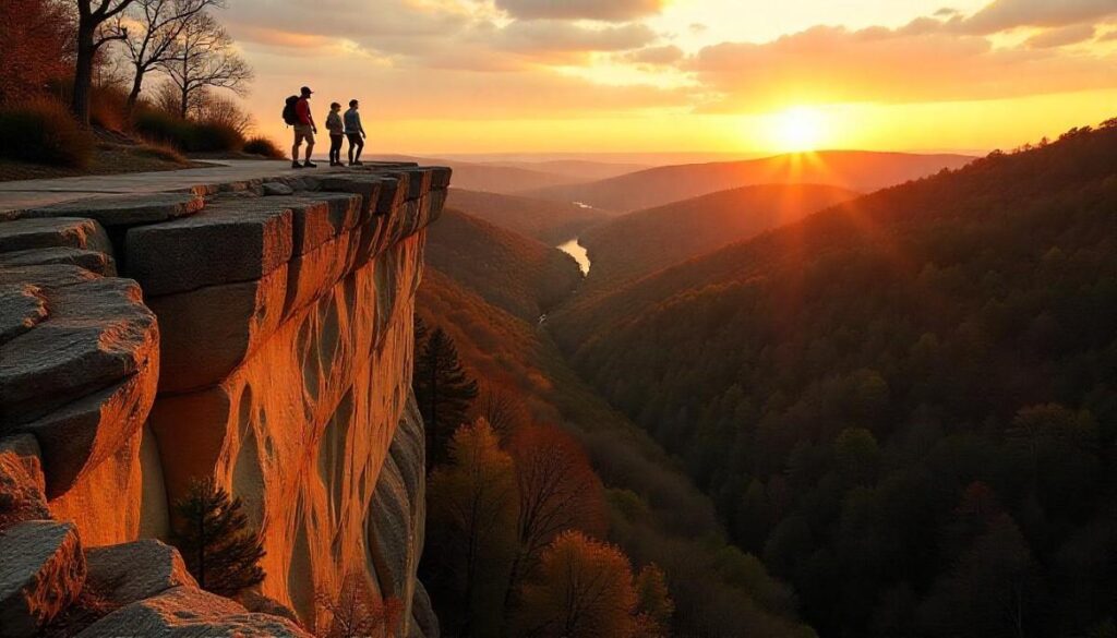
As one of the best hikes in Arkansas, the West Summit Trail at Pinnacle Mountain offers a fast‑paced escape into nature just minutes from downtown. Combining steep switchbacks, natural stone steps, and forested switchbacks, this hiking in Little Rock Arkansas gem rewards you with expansive views of the Arkansas River Valley and the distant Ouachita Mountains.
The summit’s rocky platform is a favorite spot for sunrise and sunset photography, and on clear days you can even spot the city skyline peek through the trees. What makes this trail truly special is its blend of urban accessibility and rugged adventure—perfect for locals seeking a quick challenge or visitors wanting a taste of Arkansas hiking without a long drive. I’ll never forget the first time I reached the top just as the morning mist cleared—it felt like I’d stumbled onto a secret overlook reserved for early risers.
Trail Distance, Difficulty, and Permit
- Distance: 1.5 miles round trip
- Difficulty: Moderate to strenuous
- Permit: Not required
Best Time to Visit
Early morning in spring or fall offers the best temperatures and vibrant foliage. Late afternoons can also be magical, with golden light illuminating the valley below.
Personal Tips & Safety Precautions
Wear sturdy hiking shoes with good ankle support—the rocky sections can be unforgiving. Carry at least two liters of water, especially in summer months when temperatures soar. If you’re new to steep climbs, consider using trekking poles for extra stability. Always stay on the marked trail to protect delicate plant life and avoid erosion.
2. Lost Valley Trail (Ponca)
Introduction
Tucked into the upper Buffalo River Arkansas region, the Lost Valley Trail Arkansas is a nature lover’s dream. Winding through towering bluffs, shaded hardwood forest, and limestone formations, the path culminates at Eden Falls—a seasonal cascade that sparkles like a hidden jewel. Along the way, you’ll discover a natural bridge and a small cave that feels straight out of a fairy tale. This trail is beloved for family friendly hikes in Arkansas, offering benches and gentle grades that make it approachable for all ages. I still recall the hush that fell over the canyon when I first spotted the waterfall—nature’s private concert only for those willing to explore off the beaten path.
Trail Distance, Difficulty, and Permit
- Distance: 2.3 miles round trip
- Difficulty: Easy to moderate
- Permit: Not required
Best Time to Visit
Spring and early summer are ideal, when wildflowers carpet the forest floor and the waterfall is at peak flow. Early autumn also provides crisp air and colorful leaves.
Personal Tips & Safety Precautions
Bring waterproof shoes or sandals—the creek crossings and waterfall spray can make surfaces slick. Pack a headlamp or small flashlight if you plan to explore the cave. Keep children close near bluff edges and remind them that rock surfaces can be slippery.
3. Whitaker Point (Hawksbill Crag) – Ozark National Forest
Introduction
Few hiking spots in Arkansas rival the iconic silhouette of Hawksbill Crag, also known as Whitaker Point. This short trek through lush pine and hardwood forest delivers you to a dramatic rock outcrop that juts over a deep valley, offering one of the most memorable views in the Ozarks. Photographers and romantics flock here for proposals and golden‑hour sessions, but you’ll find just as much wonder in the quiet moments before dawn. The sense of balance your heart skips as you step onto the crag is thrilling, yet grounded by the ancient beauty of the surrounding stone cliffs. It’s a trail that exemplifies the best of Arkansas hiking in the Ozarks, combining accessibility with awe‑inspiring scenery.
Trail Distance, Difficulty, and Permit
- Distance: 2.9 miles round trip
- Difficulty: Easy to moderate
- Permit: Not required
Best Time to Visit
Autumn brings riotous color to the ridges, making it the peak season. Spring’s fresh greenery and dogwood blooms are also spectacular.
Personal Tips & Safety Precautions
Arrive before sunrise to avoid crowds and secure parking. Stay well back from the edge—there are no guardrails, and one misstep can be serious. Wear trail shoes with aggressive tread, as the ledge can be slippery after rain.
4. Hot Springs Mountain Trail (Hot Springs National Park)
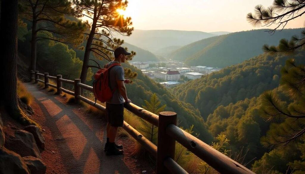
Introduction
For a perfect blend of nature trails in Hot Springs Arkansas and historic charm, the Hot Springs Mountain Trail is hard to beat. This loop circles the summit of the city’s namesake mountain, weaving through fragrant pine groves and rich hardwood stands. From the lookout points, you can gaze down on the bathhouse row and the downtown district, then return to the forest’s peaceful hush. What makes this trail unique is its seamless transition from urban park to wild refuge—you can hike, then soak in a thermal pool minutes later. I’ll never forget pausing at an overlook while the steam rose above the city, reminding me how this state marries natural wonder with cultural heritage.
Trail Distance, Difficulty, and Permit
- Distance: 3.3 miles loop
- Difficulty: Easy to moderate
- Permit: Not required
Best Time to Visit
Spring and fall are ideal for mild weather and colorful foliage. Even winter offers crisp, crowd‑free hikes.
Personal Tips & Safety Precautions
Take the trail clockwise for gentler climbs and save the steeper descent for later. Combine your hike with a visit to the historic bathhouses—just pack a towel and a swimsuit. Watch for loose gravel on switchbacks and wear a hat for sun protection on exposed sections.
5. Eagle Rock Loop (Ouachita National Forest)
Introduction
The Eagle Rock Loop stands as the crown jewel of backpacking in Arkansas, winding you through some of the most remote sections of the Ouachita National Forest. This epic circuit links ridgelines, river crossings, and hidden valleys, delivering true wilderness immersion over multiple days. Hikers encounter rushing creeks, rocky summits, and dense pine stands that feel miles from civilization. Completing this loop is a badge of honor—each mile conquered reinforces your bond with the land.
Trail Distance, Difficulty, and Permit
- Distance: 26.8 miles loop
- Difficulty: Strenuous
- Permit: Not required
Best Time to Visit
Late fall through early spring offers cooler temperatures and fewer ticks. Summer can be hot and humid, with high creek levels.
Personal Tips & Safety Precautions
Plan for at least three days and cache water if possible—some stretches are dry. Bring a detailed topo map (don’t rely solely on GPS) and a reliable water filter. Use trekking poles for steep creek crossings, and always camp at least 200 feet from water sources to protect riparian zones.
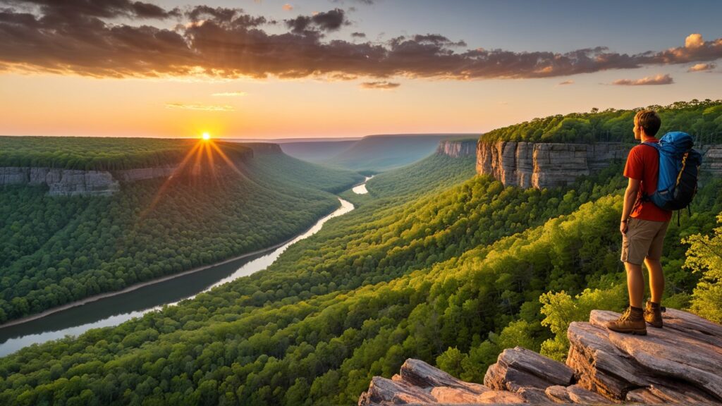
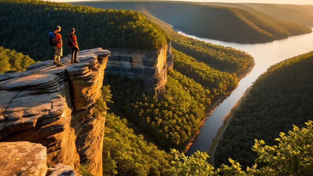
6. Buffalo River Goat Trail (Buffalo National River)
Introduction
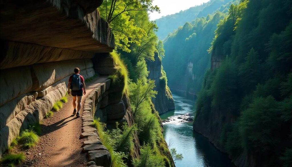
The Buffalo River Goat Trail is a thrilling highlight of Buffalo River Arkansas hiking, taking you along narrow bluff ledges high above the winding river below. This route splits from the Centerpoint Trail and follows a natural rock bench carved into the cliff face, offering heart‑stopping views and a sense of true wilderness adventure. You’ll traverse exposed limestone shelves, peer over sheer drops, and feel the roar of the river echo through the canyon.
Though not a long hike, its combination of rugged terrain and dramatic scenery makes it one of the best hikes in Arkansas for experienced hikers seeking an adrenaline rush. Early mornings here are magical—the canyon light dances on the water, and wildlife stirs in the underbrush, giving you a front‑row seat to Ozark nature.
Trail Distance, Difficulty, and Permit
- Distance: 5.9 miles round trip
- Difficulty: Moderate to strenuous
- Permit: Not required
Best Time to Visit
Spring and fall offer mild temperatures and clear skies, with spring runoff enhancing the river’s volume below. Avoid hiking this trail after heavy rain when ledges can be slick.
Personal Tips & Safety Precautions
Wear sturdy boots with aggressive tread and carry trekking poles for balance on narrow rock benches. Stay well back from the edge during windy conditions. Pack plenty of water, as creek crossings are rare, and inform someone of your itinerary—cell service is unreliable here.
7. Devil’s Den Yellow Rock Trail (Devil’s Den State Park)
Introduction
Nestled in the Boston Mountains of Arkansas hiking, the Devil’s Den Yellow Rock Trail delivers sweeping panoramic views from its sandstone overlook. As part of Devil’s Den State Park, this loop weaves through pine and hardwood forest before climbing to a unique “yellow rock” bluff that glows warmly in afternoon light. It’s a perfect example of easy hikes in Arkansas that still reward you with dramatic vistas and geologic intrigue. The trail’s vintage Civilian Conservation Corps stonework and cozy backcountry campsites add a touch of history to your trek, making it a favorite for both day hikers and overnight backpackers exploring Arkansas backpacking trails.
Trail Distance, Difficulty, and Permit
- Distance: 3.5 miles loop
- Difficulty: Moderate
- Permit: Not required (campground permits required for overnight stays)
Best Time to Visit
Fall delivers fiery foliage against the yellow rock backdrop, while spring wildflowers carpet the forest floor. Afternoons on clear days offer the best lighting for views.
Personal Tips & Safety Precautions
Pack a headlamp if you plan to stay for sunset; the trailhead closes at dusk. Secure your food in park‑provided lockers or bear boxes—black bears are occasionally spotted. Watch for loose gravel near the overlook and stay on marked paths to preserve fragile ecosystems.
8. Sylamore Creek Trail (Blanchard Springs Caverns)
Introduction
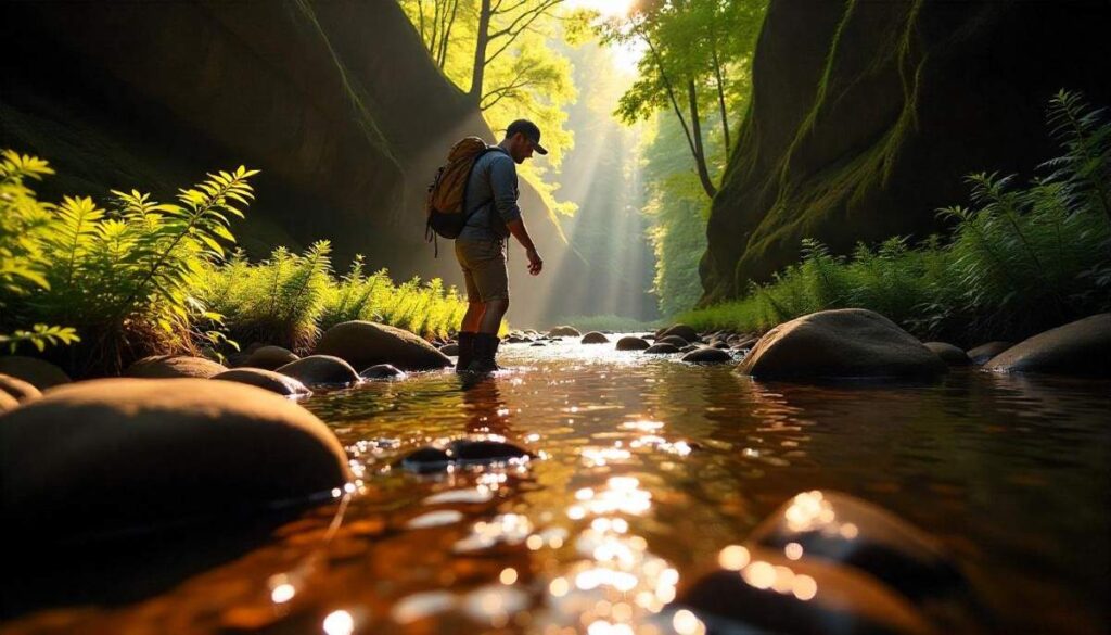
The Sylamore Creek Trail invites hikers to explore a verdant canyon carved by crystal‑clear waters, making it one of the premier hiking trails in Arkansas with waterfalls and fishing spots. Beginning near the famed Blanchard Springs Caverns, this out‑and‑back route follows the creek through stands of hemlock and hardwood, with occasional bluffs providing scenic overlooks. Anglers often stop to cast lines into trout‑rich pools, while nature lovers marvel at the moss‑draped rock walls. It’s a serene contrast to bluffline hikes—a place to wander at your own pace, listen to water tumbling over stones, and spot salamanders darting beneath logs.
Trail Distance, Difficulty, and Permit
- Distance: 5 miles round trip
- Difficulty: Moderate
- Permit: Not required (cavern tours require separate tickets)
Best Time to Visit
Late spring through summer keeps the creek flowing with refreshing cool water. Fall brings golden hues to the canopy, creating a kaleidoscope of color around the stream.
Personal Tips & Safety Precautions
Wear quick‑drying shoes or sandals for creek crossings, and carry insect repellent—mosquitoes love the riparian zone. Bring a small towel and extra socks if you plan to fish or dip in pools. Stay aware of flash‑flood risks; avoid hiking after heavy rains.
9. Mount Magazine Signal Hill Trail (Mount Magazine State Park)
Introduction
Standing atop Arkansas’s highest point, the Signal Hill Trail in Mount Magazine State Park treats hikers to sweeping vistas of forested valleys and distant ridges. This well‑maintained loop passes through mixed hardwoods and pine, with interpretive signs explaining local flora and geology. A historic lookout tower at the summit offers 360‑degree panoramas—on clear days you can see the Petit Jean River snaking below and, if you’re lucky, catch a glimpse of elk herds in the valley. As one of the best places to hike and camp in Arkansas, Mount Magazine balances accessibility with high‑altitude appeal, making you feel a world away only a few hours from Little Rock.
Trail Distance, Difficulty, and Permit
- Distance: 2 miles loop
- Difficulty: Easy to moderate
- Permit: Not required
Best Time to Visit
Spring wildflowers bloom along the path, while fall delivers crisp air and panoramic vistas of autumn color. Summer evenings offer cooler temps after the midday heat.
Personal Tips & Safety Precautions
Bring a light jacket—even summers can be cool on the ridge. Use the interpretive signs to learn about local ecosystems; I once spotted a rare warbler thanks to a guidepost tip. Stay on the boardwalk sections to protect sensitive high‑elevation plant life.
10. Hidden Hollow Loop (Eureka Springs)
Introduction
Just outside of Eureka Springs, the Hidden Hollow Loop is one of the most charming hiking trails in Eureka Springs Arkansas, weaving through fern‑dense groves, rocky outcrops, and shady glades. This moderate loop showcases the mid‑Ozark’s intimate scale—narrow canyons, delicate wildflowers, and moss‑covered limestone walls that feel like a hidden grotto. It’s an ideal family friendly hike in Arkansas, with well‑marked paths, gentle elevation changes, and benches tucked in scenic spots. I vividly recall leading my niece and nephew along this trail; their delight at spotting salamanders and hearing waterfall echoes made it one of my most memorable hiking in Arkansas Ozarks experiences.
Trail Distance, Difficulty, and Permit
- Distance: 3 miles loop
- Difficulty: Moderate
- Permit: Not required
Best Time to Visit
Spring’s emerald green and summer’s cool refuge make for perfect hiking conditions. Early fall adds a touch of gold to the canopy without the crowds.
Personal Tips & Safety Precautions
Watch for tree roots and loose stones on narrow sections—keep younger hikers close. Pack snacks and water in a lightweight pack; picnic spots abound for family breaks. A small first‑aid kit comes in handy for minor scrapes or insect bites.
Comparison Table: Top 10 Best Hikes in Arkansas
| Trail Name | Distance | Difficulty | Permit Required | Best Time to Visit |
|---|---|---|---|---|
| Pinnacle Mountain West Summit Trail (Little Rock) | 1.5 miles (out & back) | ⭐️⭐️⭐️ Moderate–Hard | No | Fall, Spring, Early Morning |
| Lost Valley Trail (Ponca) | 2.3 miles (out & back) | ⭐️⭐️ Easy–Moderate | No | Spring (waterfalls), Fall |
| Whitaker Point (Hawksbill Crag) | 2.9 miles (out & back) | ⭐️⭐️ Moderate | No | Fall (foliage), Spring |
| Hot Springs Mountain Trail | 3.3 miles (loop) | ⭐️⭐️ Moderate | No | Fall, Winter, Spring |
| Eagle Rock Loop (Ouachita National Forest) | 26.8 miles (loop) | ⭐️⭐️⭐️⭐️ Hard | No | Fall & Spring (avoid heat & floods) |
| Buffalo River Goat Trail | 5.9 miles (out & back) | ⭐️⭐️⭐️ Moderate | No | Fall & Spring |
| Devil’s Den Yellow Rock Trail | 3.1 miles (loop) | ⭐️⭐️ Moderate | No | Fall for views |
| Sylamore Creek Trail | 22.8 miles (point-to-point) | ⭐️⭐️⭐️ Moderate–Hard | No | Spring & Fall |
| Mount Magazine Signal Hill Trail | 1.5 miles (out & back) | ⭐️⭐️ Easy | No | Year-round |
| Hidden Hollow Loop (Eureka Springs) | 2.2 miles (loop) | ⭐️⭐️ Easy | No | Spring & Fall |
Regional Hiking Breakdown
Hiking in Northwest Arkansas
Northwest Arkansas is a hotspot for hiking in Arkansas, blending small mountain towns with world‑class outdoor recreation. From the artsy streets of Fayetteville to the craft‑brew scene in Bentonville, you can easily slip away onto hiking trails in northwest Arkansas that showcase the region’s limestone bluffs, forested ridges, and rolling pastures. This area is known for its friendly trail communities, plentiful gear shops, and well‑marked routes that welcome everyone—from weekend day hikers to those seeking the best hikes in Northwest Arkansas.
Hiking in the Arkansas Ozarks
The Ozark Mountains define much of this region’s character, offering a network of rugged footpaths and hidden hollows. Trails like the Hobbs State Park Centennial Trail wind through mixed hardwoods and past freshwater springs, while Bentonville Arkansas hiking routes such as Coler Mountain Bike Preserve share space with hikers on dual‑use paths. For a true Ozark adventure, explore the steel‑planked walkways of the Ozark Highlands Trail or hunt for hidden waterfalls in Pea Ridge National Military Park. No matter your pace, these Arkansas hiking trails immerse you in the timeless beauty of the Ozarks.
Hiking in Hot Springs Arkansas
Hot Springs isn’t just a spa town—it’s also a gateway to Hot Springs National Park, America’s smallest national park but one of its most unique hiking destinations. Here, hiking in Hot Springs Arkansas means walking past historic bathhouses one minute and plunging into dense pine forest the next. The area’s trails range from gentle boardwalks to steep ridge climbs, offering both scenic overlooks and soothing hot springs experiences.
Trails in Hot Springs Arkansas
- Hot Springs Mountain Trail: Looping above Bathhouse Row, this trail delivers panoramic views of downtown Hot Springs and the Ouachita foothills.
- Sunset Trail: Best for evening hikes, winding along ridgelines that glow gold as the sun dips behind the peaks.
- West Mountain Trail: An out‑and‑back path with hidden coves and wildflower meadows, perfect for birdwatching and dog friendly hiking trails in Arkansas.
Hiking in Eureka Springs Arkansas
Perched on a hillside of the upper Ozarks, Eureka Springs is a charming base for Eureka Springs Arkansas hiking—from leisurely loops within city parks to more rugged treks just outside town. The area combines Victorian architecture with easy access to forest canopy trails, making it a dual delight for culture and nature lovers.
Hiking Trails in Eureka Springs Arkansas
- Lake Leatherwood Loop: A 15‑mile circuit around a serene reservoir, featuring rolling hills, wildflower fields, and occasional geocaches.
- Hidden Hollow Loop: A kid‑favorite family friendly hikes in Arkansas, this 3‑mile loop dives into fern‑filled ravines and rocky overlooks.
- Okemo Mountain Trail: A blast of elevation gain for serious hikers, offering valley vistas and a good workout for trail runners.
Hiking in Central Arkansas
Central Arkansas, anchored by Little Rock, showcases how Arkansas hiking can feel both urban and backcountry. Just beyond the city limits lie riverside paths, state parks, and ridge trails where you can chase sunrise views or afternoon thunderheads rolling in over the lowlands.
Hiking in Little Rock Arkansas
- Pinnacle Mountain West Summit Trail: One of the best hiking in Arkansas near town, this 1.5‑mile climb rewards you with 360° views of the Arkansas River Valley.
- Burns Park Trails: A network of flat, family‑friendly routes along the riverbank—perfect for beginners and evening strolls.
- Two Rivers Park Loop: An urban greenway linking downtown to canal trails and hidden wetlands, offering a peaceful escape within city limits.
Hiking Near Rogers Arkansas & Hiking Near Bella Vista Arkansas
While technically northwest, these areas serve as easy escapes from Central Arkansas. At Rogers, you’ll find the Springdale Trail System’s singletrack loops, and just across the border, Bella Vista Arkansas hiking trails like the Y Trail feature creeks, bluff overlooks, and seasonal wildflowers.
Hiking Trails in Mountain Home Arkansas
Mountain Home may be best known for Norfork Lake, but hiking trails in Mountain Home Arkansas extend into lush foothills and river valley terrain:
- Norfork Lake Loop: A scenic lakeside route with fishing spots and hidden sandy beaches.
- Mary Lou Falls Trail: A short, steep path to a beautiful cascade—one of the best waterfall hikes in Arkansas.
Hiking in Southern Arkansas
Southern Arkansas presents a different flavor of Arkansas hiking, with deep forest canopies, open pasturelands, and quietly powerful river valleys. This region’s trails are less crowded, offering solitude and the chance to spot wildlife along seldom‑traveled paths.
- Devil’s Den State Park: Home to the Yellow Rock Trail and Butterfield Hiking Trail, this park’s rugged Cumberland Plateau terrain offers easy to strenuous hikes in Arkansas.
- Kiamichi Wilderness (near Murphy, AR): A remote backcountry where you can section‑hike parts of the Ouachita Trail and find Arkansas backpacking trails away from the crowds.
- River Valley Hikes near Texarkana: Explore the Sulphur River Wildlife Management Area’s boardwalks and oxbow lakes for peaceful wetland walks and birdwatching.
Themed Hikes & Specialized Experiences
Arkansas offers more than just “a walk in the woods.” Whether you’re chasing waterfalls, hiking with kids, exploring with your dog, or planning a rugged multi-day backpacking trip, the Natural State delivers memorable and rewarding experiences. Below are handpicked, trail-tested themed hikes tailored for different interests—each with insider insights, helpful tips, and honest reflections from the trail.
Waterfall Hikes in Arkansas
There’s something undeniably magical about waterfall hikes in Arkansas—the sound of rushing water cutting through quiet forest, mist hanging in the air, and a cool breeze that makes you forget you’re miles into the backcountry.
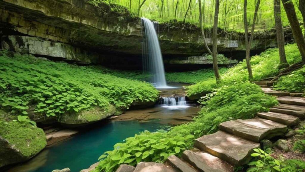
- Lost Valley Trail (Buffalo National River):
One of the most beloved Arkansas hiking trails, Lost Valley is a short but diverse 2.3-mile round trip that leads to Eden Falls—a multi-tiered cascade tucked deep in the Ozarks. Along the way, you’ll pass natural bridges, small caves, and moss-covered rock formations. It’s especially breathtaking in spring and fall when water flow is at its peak. - Whitaker Point (Hawksbill Crag):
While most people hike Whitaker Point for the Instagram-worthy view, many miss the small yet elegant seasonal waterfall tucked just before the bluff. I remember stumbling upon it during an early morning hike—it was silent, hidden, and utterly calming. Bring waterproof shoes in spring and take the short side trail that leads to the base of the falls. - Rock House Cave Trail (Petit Jean State Park):
This short and accessible hike not only offers rock formations and prehistoric pictographs, but after a heavy rain, a gentle seasonal waterfall emerges from the cave’s edge. It’s a great educational and scenic combo hike for families.
Hiking Tip: Waterfalls are best viewed after recent rainfall—but trails can get muddy and slippery. Always wear shoes with good grip and use trekking poles when descending steep areas. For more gear tips, see our full guide on what to bring on hiking.
Easy & Family Friendly Hikes in Arkansas
Finding family-friendly hiking trails in Arkansas is easier than you’d think. These short hikes are safe, engaging, and still pack in scenic rewards—perfect for kids, seniors, or first-time hikers.
- Hidden Hollow Loop (Hobbs State Park):
At just under a mile, this loop trail features flat terrain, shaded forest, and interpretive signs about local wildlife. It’s an ideal introduction to hiking for children and a peaceful stroll for adults wanting a relaxing nature walk. - Hot Springs Mountain Trail (Hot Springs National Park):
This moderate 1.7-mile loop meanders through pine forests and offers panoramic views of downtown Hot Springs. It’s well-maintained, shaded, and close to restaurants and bathhouses—making it perfect for a day of mixed activities. - Lost Valley Trail (again):
Yes, this one appears twice—and for good reason. Its low elevation gain, variety of natural features, and picnic spots make it one of the best family hiking trails in Arkansas. It’s often the trail I recommend when friends visit with kids or elderly parents.
Use trail maps like ArkansasStateParks.com or the AllTrails app to check current conditions, as certain segments of these easy hikes may close due to weather or maintenance.
Dog Friendly Trails in Arkansas
I’ve hiked with my dog across much of Arkansas, and the good news is: the state is incredibly dog-friendly when it comes to outdoor exploration. Most state parks and national forest trails welcome leashed pets—and some even offer water spigots and shaded rest spots.
- Devil’s Den State Park:
This park is one of our go-to spots for day trips with dogs. Trails like the Yellow Rock Trail offer both views and moderate elevation gain, while creeks along the way help dogs cool off. There’s even a pet-washing station near the visitor center—a lifesaver after a muddy hike. - Petit Jean State Park:
With multiple loop trails and scenic overlooks, Petit Jean allows for flexibility depending on your dog’s energy level. The Cedar Falls Trail is popular, though rocky—so bring dog booties if your pup has sensitive paws. - Buffalo National River Trails:
Trails like Centerpoint to Goat Trail and Rush Historic District Trails are pet-friendly and remote, offering fewer crowds and wide, natural terrain. Always bring extra water and a collapsible bowl—some sections have no fresh sources, especially in late summer.
Dog Tip: Remember to check for ticks after hikes, especially in spring and early summer. You can find more canine hiking strategies in our article on hiking with dogs.
Arkansas Backpacking & Multi-Day Adventures: Gear & Campgrounds
If you’re looking to step beyond day hikes, Arkansas backpacking trails provide incredible solitude, challenge, and connection to nature. Some routes rival those in the Rockies or Appalachians, minus the altitude and crowds.
- Eagle Rock Loop:
Widely considered Arkansas’s best backpacking trail, this 26.8-mile loop winds through three wilderness areas in the Ouachita Mountains. With creek crossings, ridgeline views, and dense pine forests, it demands both physical fitness and smart gear planning. Campsites are dispersed and first-come, first-serve—so it’s crucial to carry everything you need, including bear-proof storage and water filtration systems. - Buffalo River Trail (BRT):
This long-distance route offers backpackers scenic bluffs, elk sightings, and riverside camping. While the trail is broken into segments, you can combine sections for weekend or week-long adventures. Some areas are remote, with limited access to emergency services—so always leave your trip plan with someone you trust. - Ouachita National Recreation Trail (ONRT):
Spanning 223 miles from Oklahoma to Arkansas, this trail is ideal for section hiking or multi-day testing. Shelters are available along certain parts, making it beginner-friendly for those new to long-distance hiking. Be prepared for exposed ridges and steep switchbacks—this trail can be surprisingly tough in summer heat.
Packing Essentials: Layered clothing, a rainfly, GPS navigation, and plenty of water are non-negotiables. I learned this the hard way on a summer loop of Eagle Rock when I underestimated creek levels and had to bushwhack a steep detour.
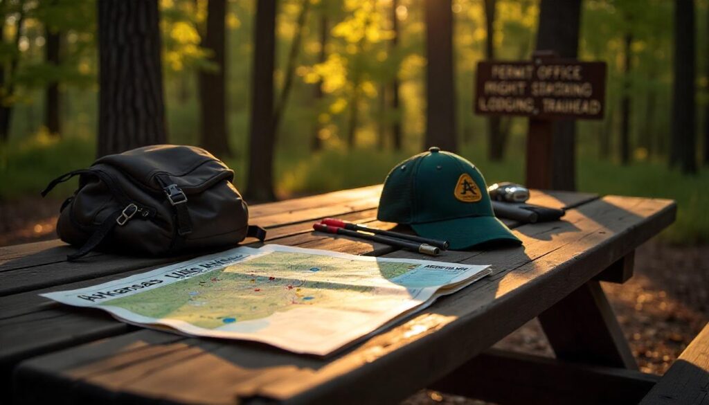
Essential Arkansas Hiking Resources
Embarking on a hiking adventure in Arkansas—whether you’re a seasoned backpacker or just starting out—becomes a lot more enjoyable and safer when you have access to reliable resources. From detailed guidebooks and digital maps to real-time trail apps and local communities, the right tools make all the difference in planning and experiencing a successful hike. Below, you’ll find carefully curated recommendations and personal insights that I’ve relied on during my own hikes across the Natural State.
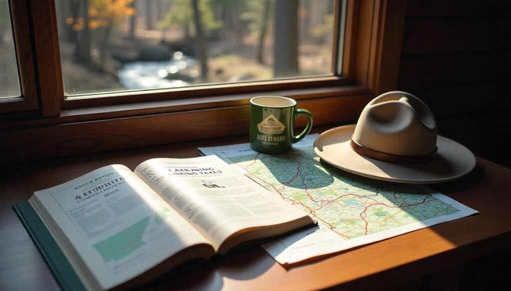
Arkansas Hiking Map & Guidebooks
When you’re out in the Ozarks or deep in the Ouachitas, cell signal can vanish in seconds. That’s why physical hiking maps and guidebooks remain essential, especially for remote trails.
- Official Arkansas State Parks Maps:
Every state park offers free printed trail maps at visitor centers. These are surprisingly detailed, showing trailheads, elevation changes, and nearby amenities like restrooms or campsites. I always grab one before starting any hike, even if I’ve downloaded a digital version—nothing beats having a waterproof paper backup when your phone dies mid-hike. You can also access many of these maps via ArkansasStateParks.com, which is handy for pre-planning routes. - “Arkansas Hiking Trails” Guidebook by Tim Ernst:
Considered the holy grail of hiking literature in Arkansas, this guidebook features over 78 detailed trail maps and hundreds of miles of well-documented hikes. Tim Ernst’s commentary is not just informative but deeply personal—he describes each trail’s challenges, scenic highlights, and seasonal considerations. I’ve discovered hidden gems like the Caney Creek Wilderness and obscure offshoots of the Ozark Highlands Trail thanks to this book. If you’re serious about hiking in Arkansas, this book deserves a spot in your backpack or glove box.
Hiking Tip: Always check the print date of any guidebook—trail closures, reroutes, and erosion can change paths significantly. Cross-reference guidebooks with updated online sources before heading out.
Best State Parks in Arkansas for Hiking
Arkansas is home to 52 state parks, many of which offer professionally maintained trails, excellent signage, and ranger-led educational programs. But a few stand out as true hiking hubs.
- Petit Jean State Park:
As the oldest state park in Arkansas, Petit Jean blends accessibility with adventure. It’s ideal for both casual hikers and more ambitious trekkers. Trails like Cedar Falls and Seven Hollows Loop feature waterfalls, caves, and rock formations. What I love most is the visitor center’s staff—they’re deeply knowledgeable and eager to help with trail conditions and local lore. - Devil’s Den State Park:
Nestled in the Boston Mountains, this park offers some of the best hiking in northwest Arkansas. Its trail system includes the rugged Butterfield Trail (a 15-mile backpacking loop) and several shorter day hikes like Yellow Rock Trail. This park also has cabins and tent sites right near trailheads, making it easy to combine hiking with camping. - Mount Nebo State Park:
Mount Nebo features mountaintop hiking with panoramic views of the Arkansas River Valley. What’s unique is the elevation—you’ll experience more incline and dramatic vistas than most other parks in the state. If you’re training for high-altitude hikes elsewhere, Nebo is a fantastic prep ground.
Top Apps & Websites for Trail Info
When you’re on the go or scouting new areas, trail apps and digital platforms can give you real-time updates on weather, terrain, and even parking.
- AllTrails Arkansas:
The AllTrails app offers one of the most comprehensive collections of user-submitted trail reviews, photos, and GPS maps for Arkansas. I personally use this app before every hike—especially when testing out a lesser-known trail. The premium version allows for offline downloads, which is useful in no-service zones like Richland Creek Wilderness or Eagle Rock Loop. - Gaia GPS:
Gaia is more technical but ideal for serious hikers and backpackers. It layers topographical maps, National Forest overlays, and custom trail routes, which is great when piecing together multi-day trips. I once rerouted my entire BRT section hike mid-trail using Gaia after a creek crossing was too dangerous post-storm. - Arkansas Digital Compasses (ADC) & Map Apps:
Local hikers often recommend ADC maps for off-the-beaten-path hiking. They offer detailed public land boundaries, road access, and land use overlays, which help avoid trespassing or getting lost in fragmented areas of National Forest.
Before your trip, download your trail maps and sync them to offline mode. Don’t rely solely on trail markers—erosion and time often wash those away.
Local Clubs, Tours & Events
One of the best ways to deepen your hiking journey is by connecting with Arkansas’s hiking community. Local clubs and guided events offer insider knowledge, skill-building, and a sense of camaraderie that solo hiking sometimes lacks.
- Ozark Highlands Trail Association (OHTA):
If you’re interested in long-distance hiking, this group is a goldmine. They manage the Ozark Highlands Trail, organize group hikes, maintain segments, and even offer shuttle help for section hikers. Joining their monthly meetups gave me trail tips that no guidebook or app could match. - Arkansas Master Naturalist Program:
More than just hikers, these are trained nature interpreters and conservationists. Their outings often include learning about native flora, responsible foraging, or birdwatching along popular trails. It’s a great way to see your hikes in a whole new light. - Guided Hiking Tours (Local Outfitters):
From Hot Springs to Jasper, local outdoor shops offer affordable guided hikes. These are especially useful if you’re new to the area, hiking solo, or trying something advanced like backcountry navigation or night hiking. Many tours cater to family-friendly groups or include themes like “waterfall Wednesdays” or “fall foliage weekends.” - Annual Trail Events & Festivals:
Keep an eye out for events like the Buffalo River Elk Festival, Trail Fest at Devil’s Den, or Ouachita Challenge (bike & hike event). These gatherings are not just fun—they connect you with gear reps, local trail stewards, and fellow hikers who might become lifelong trail buddies.
Personal Story:
I still remember the first time I joined a group hike at Devil’s Den. I was new to the area, unsure of my fitness, and a little nervous to show up solo. But within ten minutes, I was swapping stories and trail snacks with folks who’d been hiking Arkansas for decades. One older hiker gave me a brilliant tip: always keep a whistle and a bandana in your pocket—it might just save your life. I’ve carried both ever since.
FAQs & Quick Tips
Are permits required to hike in Arkansas state parks?
Most Arkansas state park hiking trails do not require permits, just a standard entry or parking fee. Backcountry and overnight hikes in areas like Ouachita or Ozark National Forests may need a free or low-cost permit. Always check the Arkansas State Parks website for specific trail regulations and seasonal updates.
When is the best time to hike Arkansas waterfalls?
The best time to hike to Arkansas waterfalls is in spring (March to May) when snowmelt and rain create full, dramatic flows. Fall also offers a scenic experience with vibrant foliage and cooler temperatures. For real-time conditions, check AllTrails Arkansas or local park updates before your trip.
Where can I find “hiking trails near me” in Arkansas?
To find the best hiking trails near you in Arkansas, use trusted tools like the AllTrails app, the Arkansas State Parks website, or search directly on Google Maps with terms like “hiking near me” or “trails in [your location].” These resources show trail length, reviews, elevation, and difficulty levels.
Conclusion & Next Steps
Arkansas offers an unmatched hiking experience, with diverse landscapes ranging from the rugged Ozarks to the lush Ouachitas and the serene Mississippi Delta. Whether you’re chasing waterfalls, exploring family-friendly trails, or embarking on backpacking adventures, there’s something for everyone. As someone who’s hiked these very trails, I can tell you that every step brings a new discovery — whether it’s the tranquil sounds of nature or the rush of crossing a stunning overlook.
If you’re looking for the perfect hiking trails in Arkansas, take your time to explore various regions. Start with a waterfall hike in spring or fall, or tackle a more challenging backpacking trail like the Ouachita Trail. Just remember to pack wisely, with the right gear and safety essentials, to make your adventure as enjoyable and safe as possible.
I’ve personally found so much peace and exhilaration on these trails — the wild beauty of Arkansas truly speaks for itself. So, lace up those boots, grab your gear, and hit the trails. And when you do, share your experiences with us — whether in the comments below or on social media. It’s this shared sense of adventure that builds our community of hikers, helping everyone find the best of what Arkansas has to offer.
Ready to hit the trails? Don’t wait—explore Arkansas hiking today and make unforgettable memories. Your next great outdoor adventure starts now!
Ethan Marlowe is an experienced hiker and outdoor gear specialist based in Colorado. With over 7 years of hands-on experience trekking through the Rockies, Pacific Northwest, and East Coast trails, he delivers practical advice, expert gear reviews, and survival insights. His goal is to help hikers of all levels make smarter decisions on and off the trail.